

BaldeneySteig
Hiking in Essen – Baldeneysteig
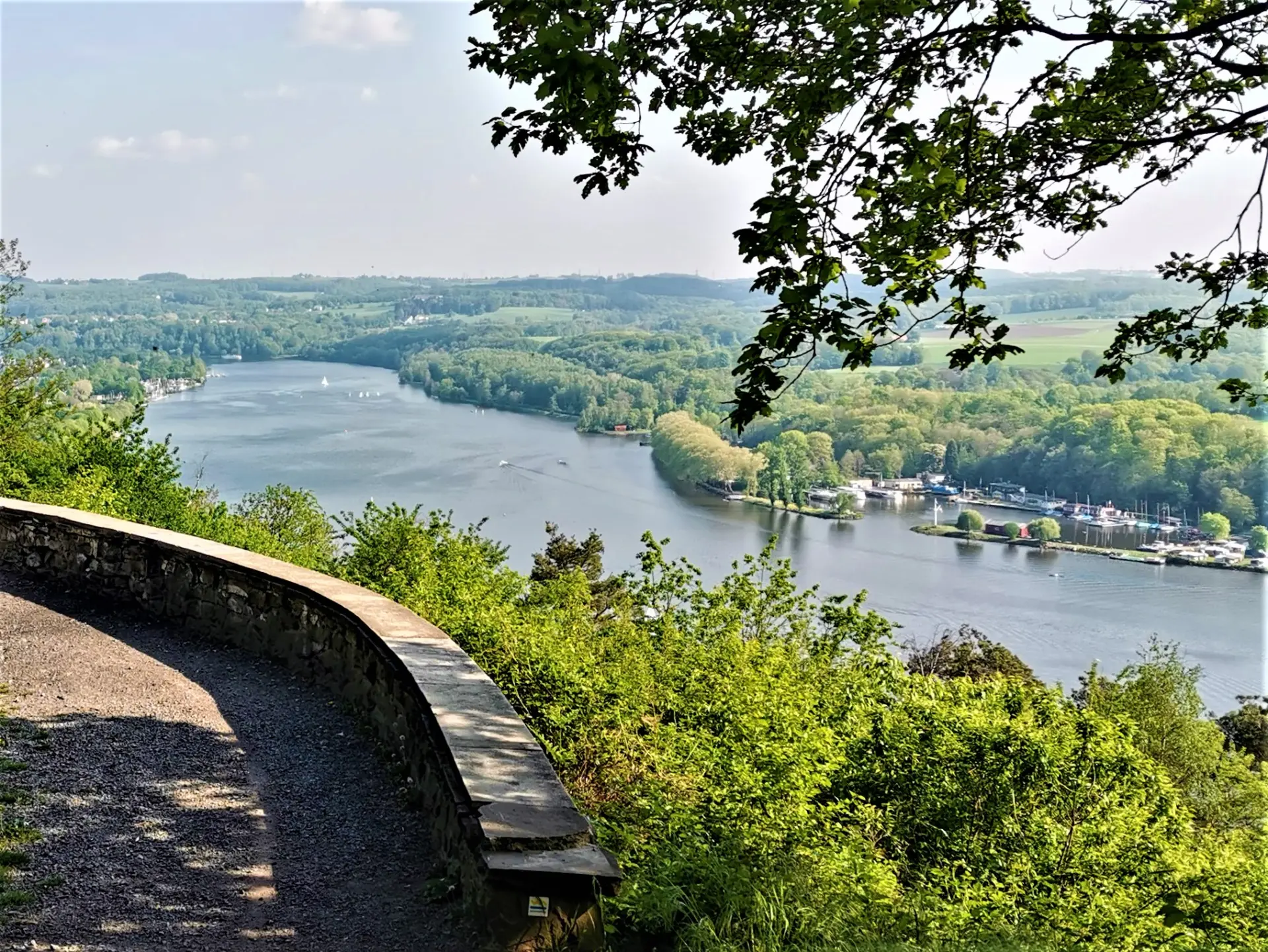
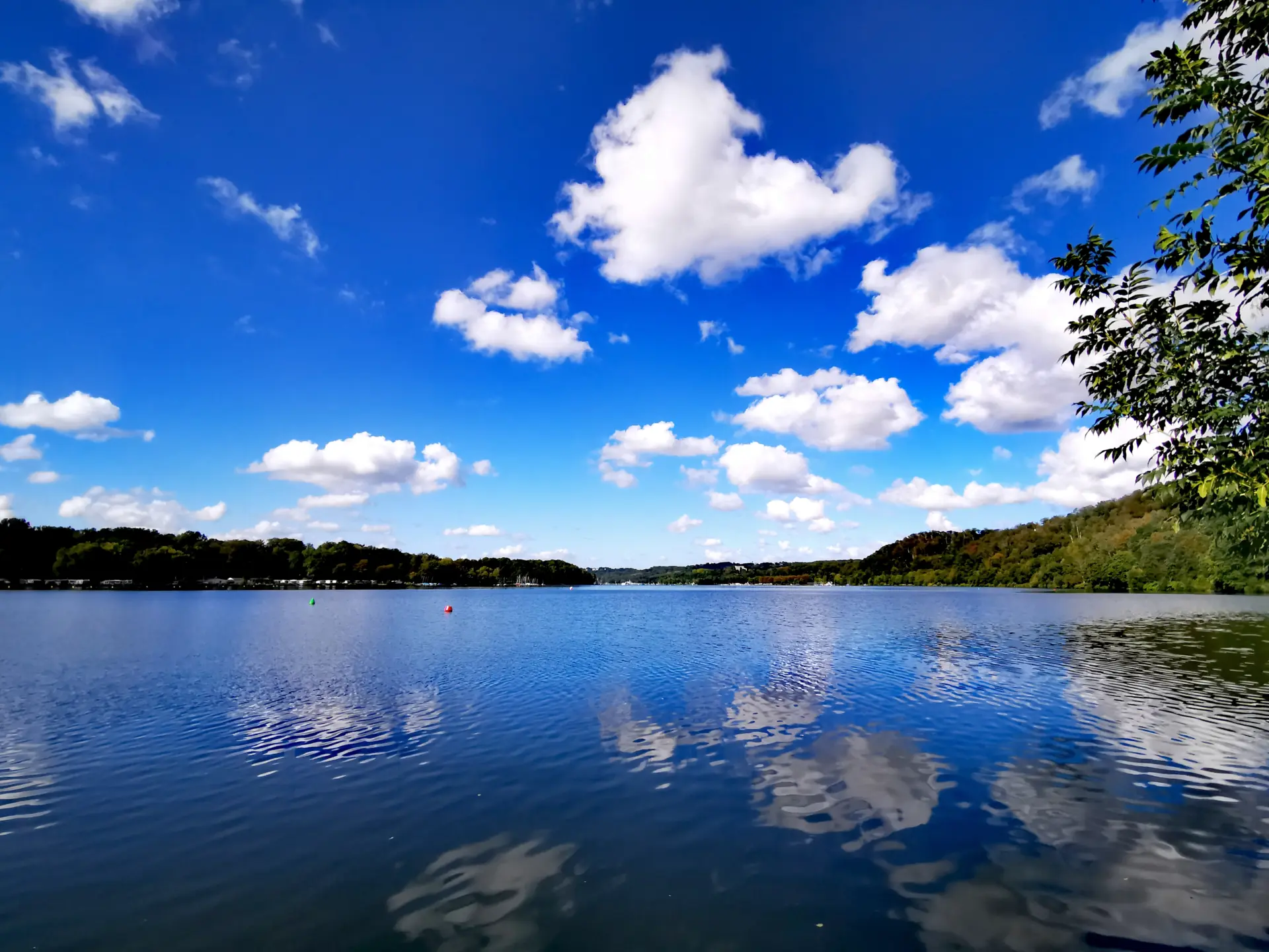
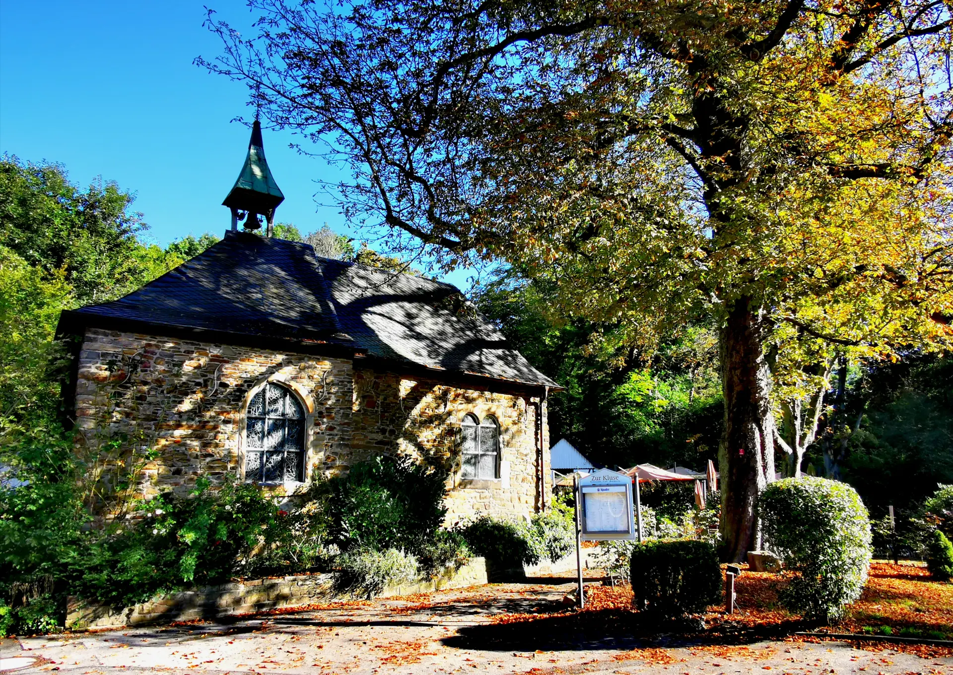
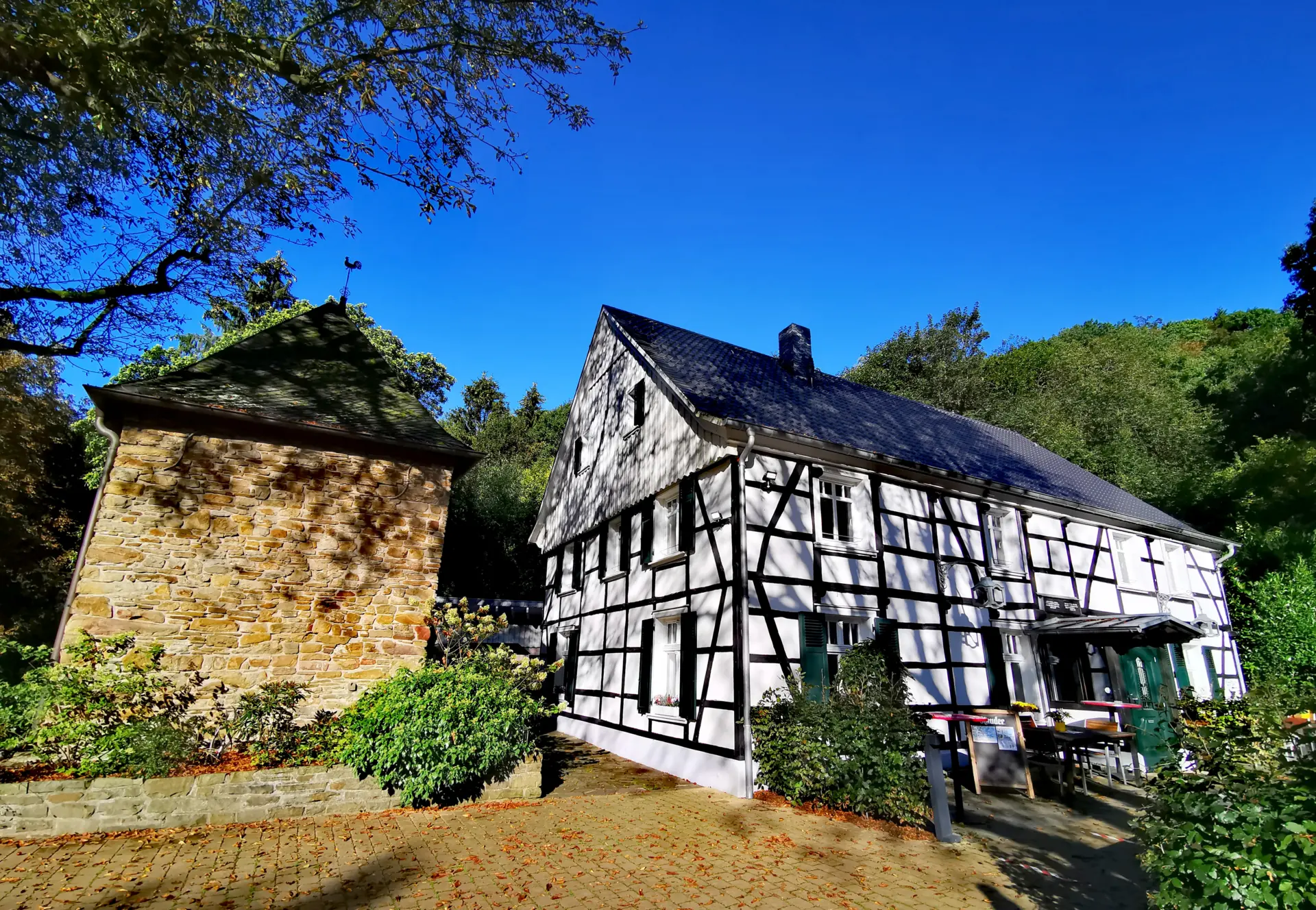
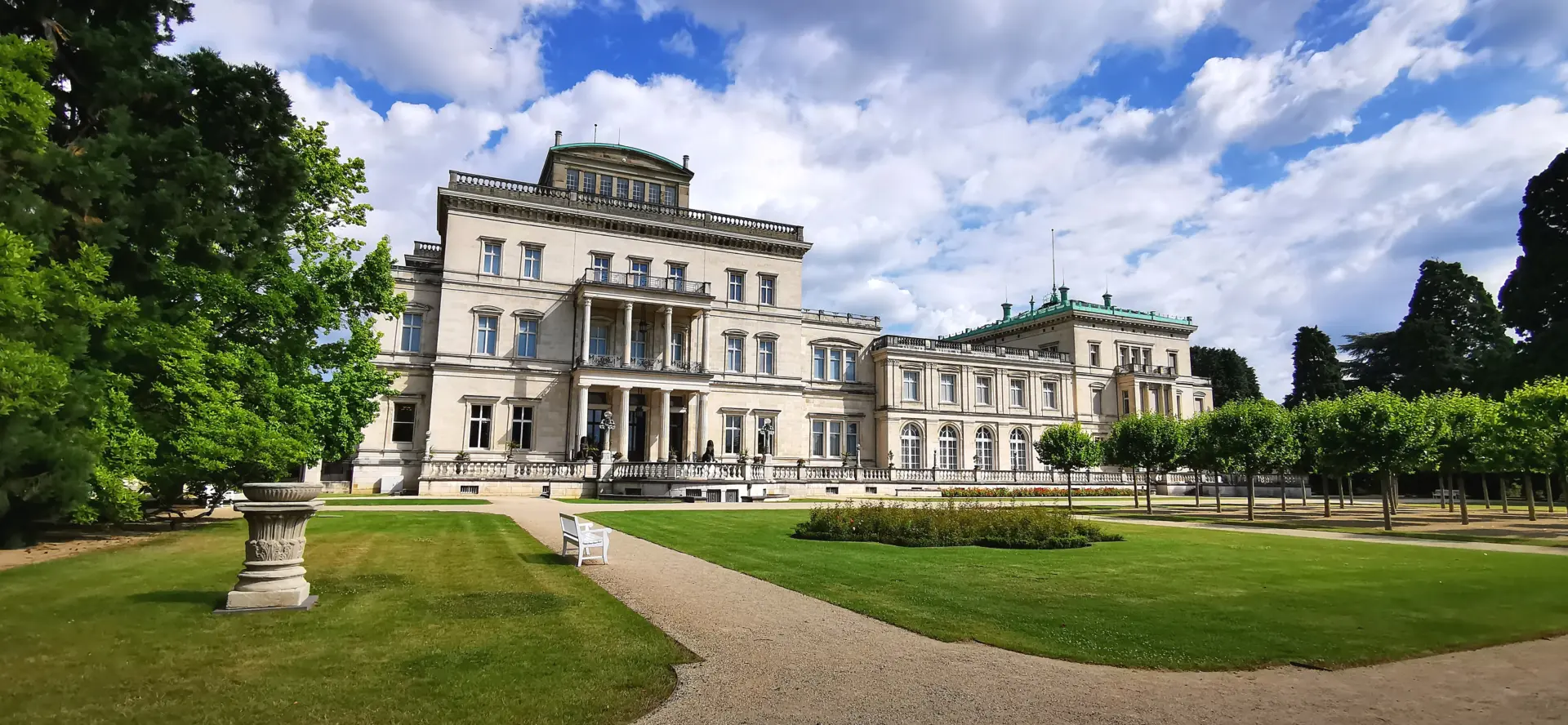
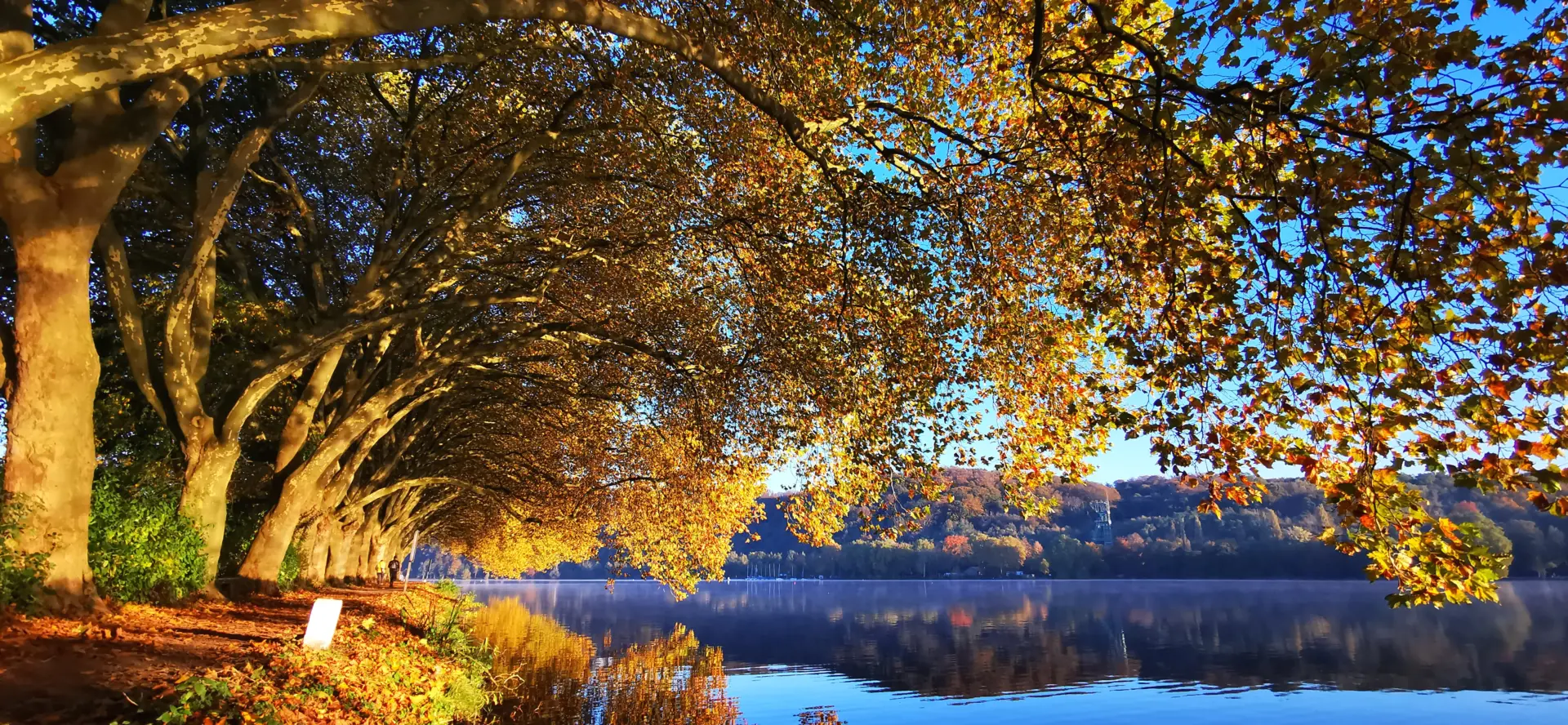
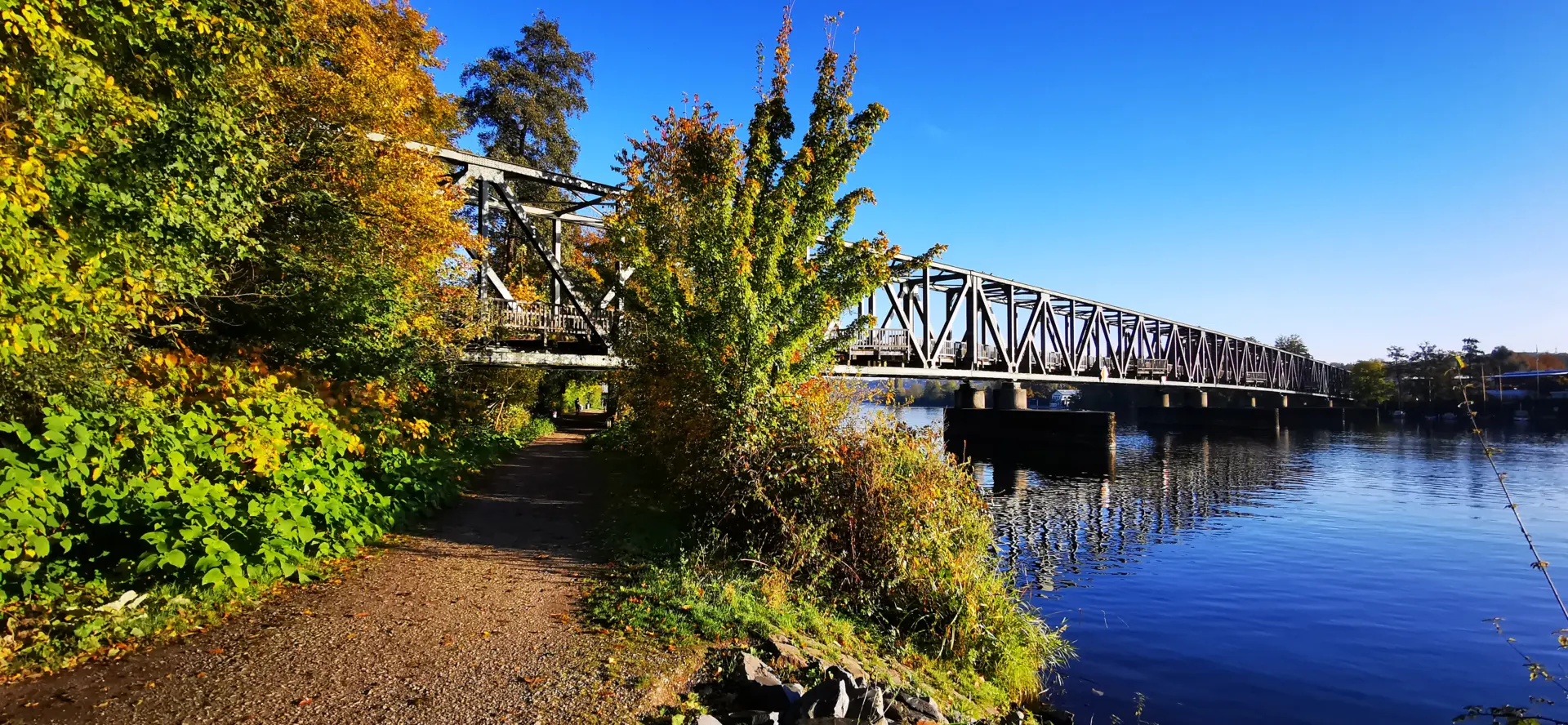
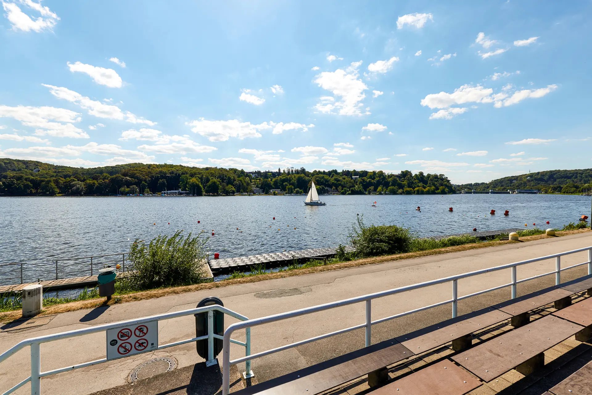
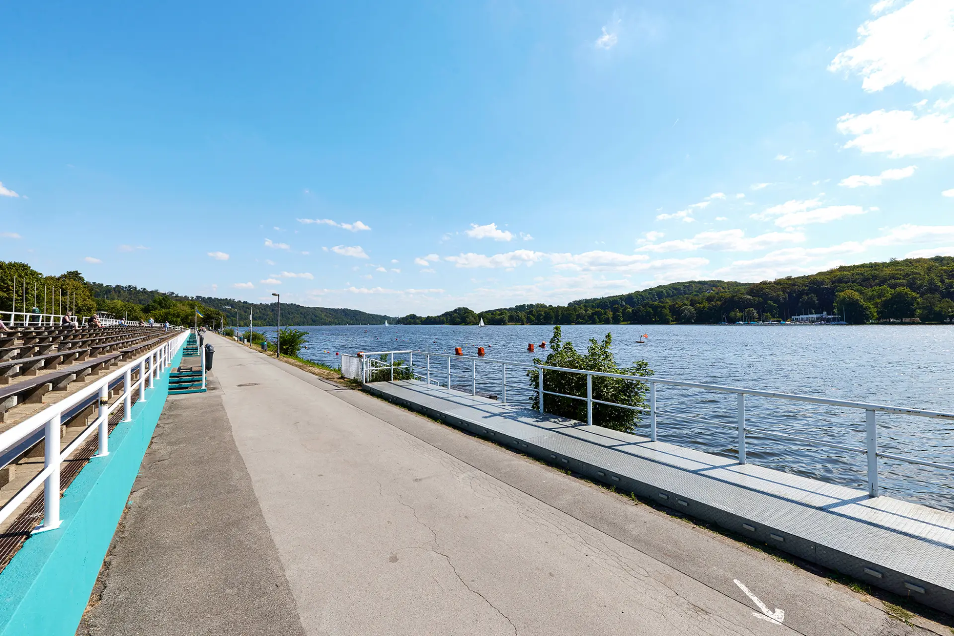
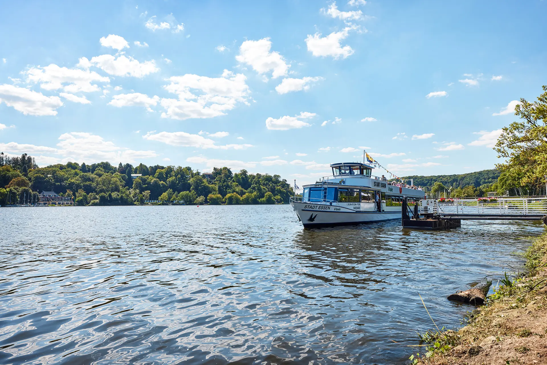
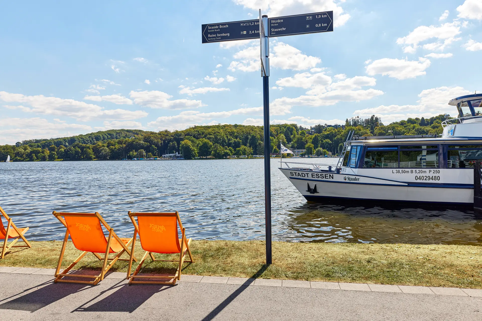
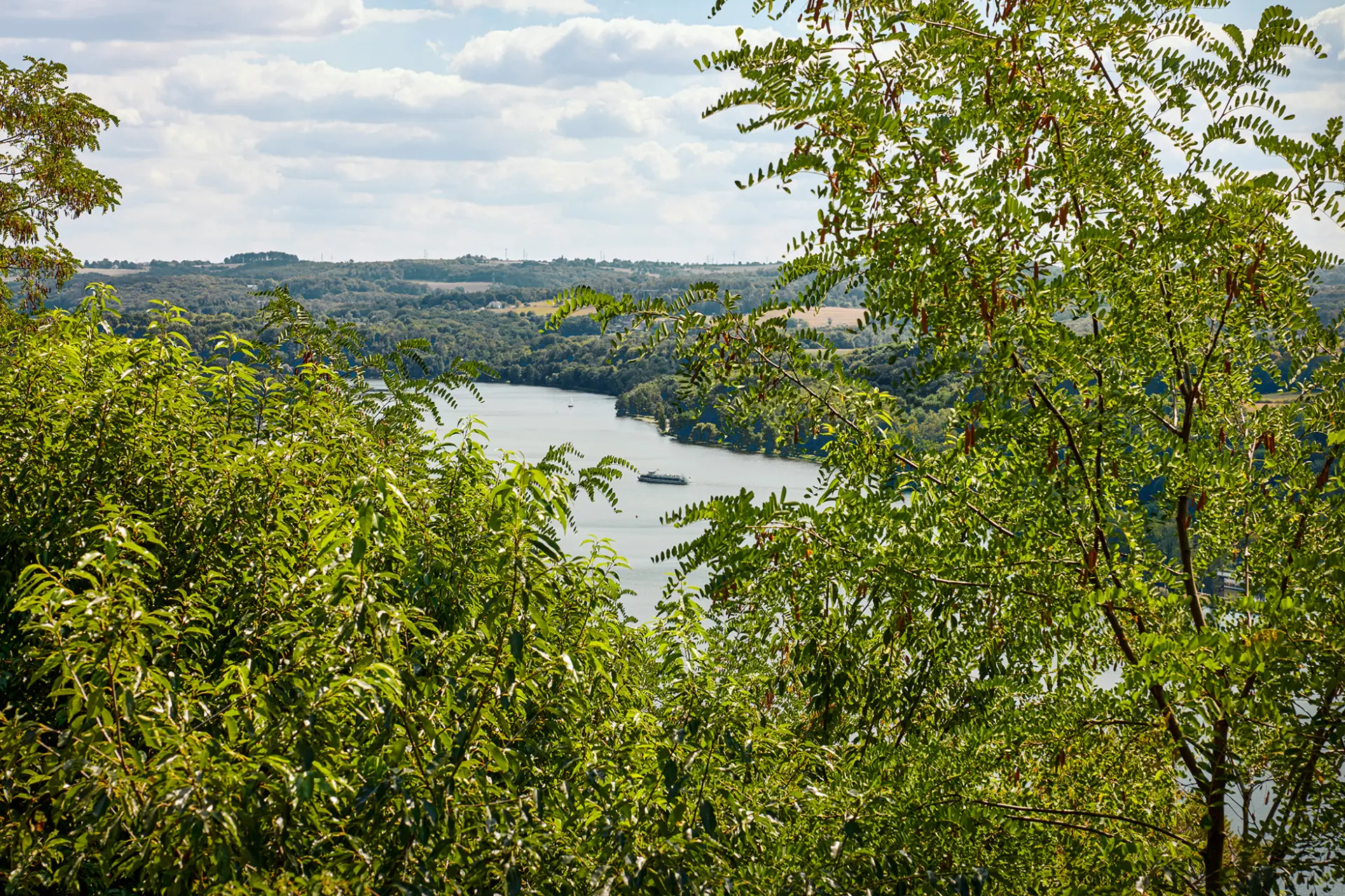
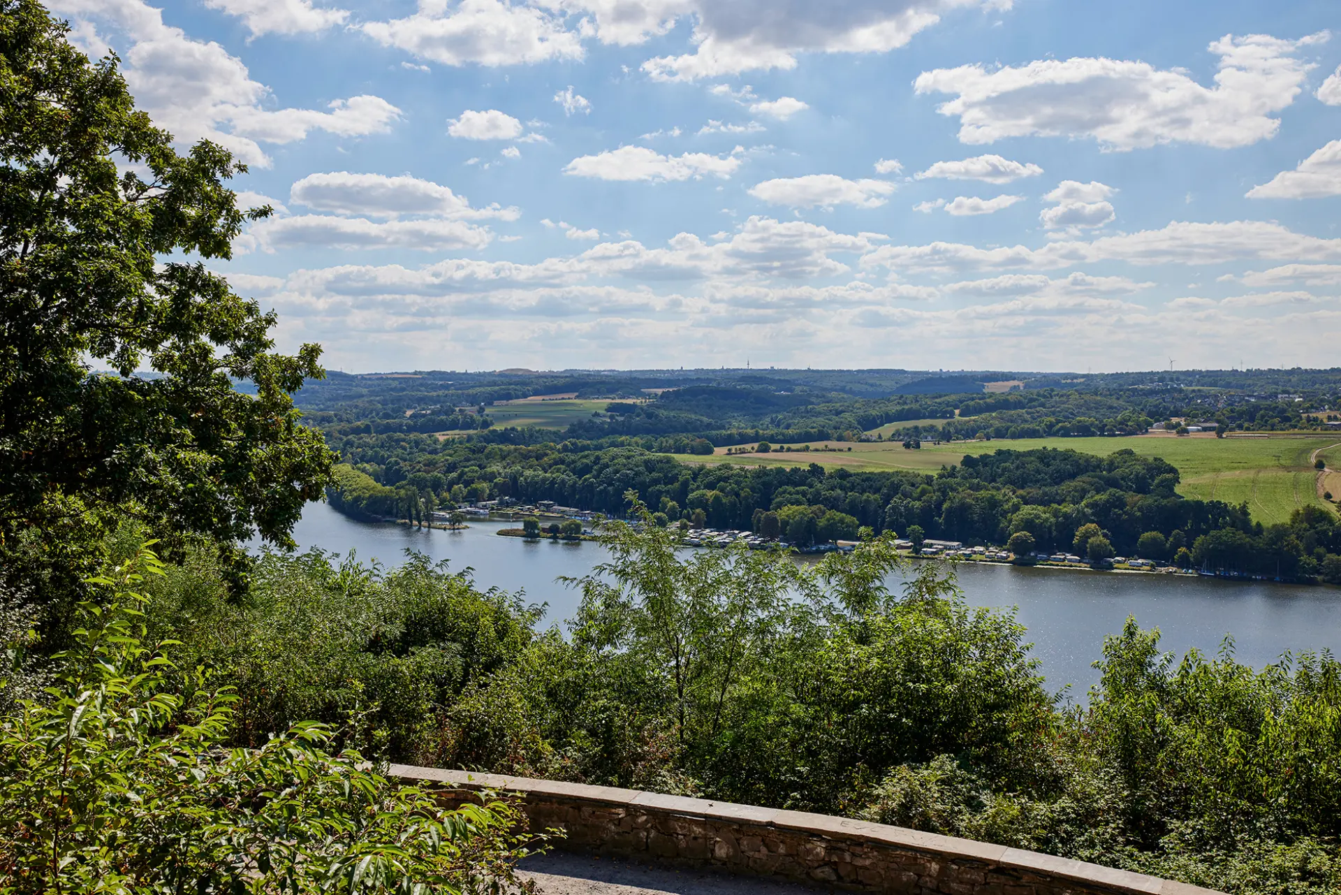
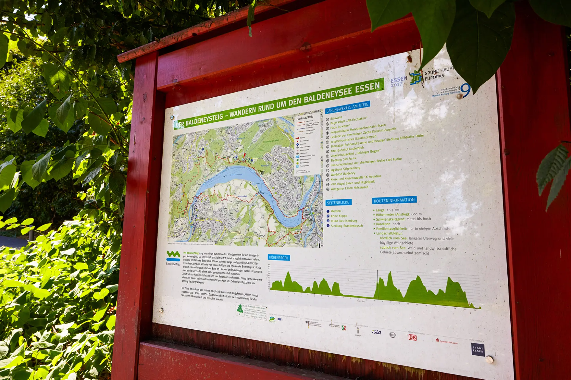
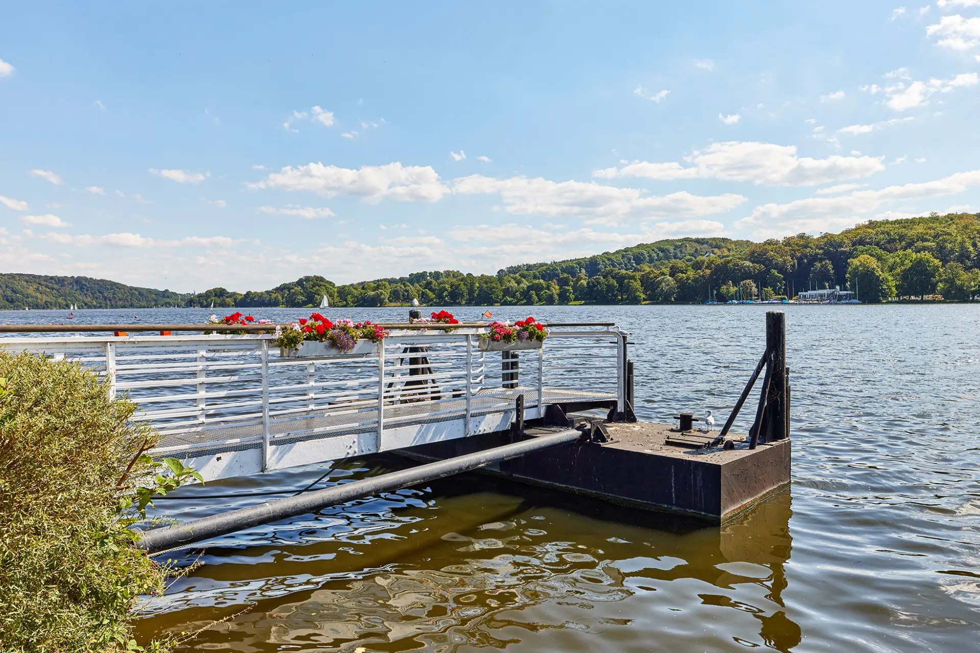
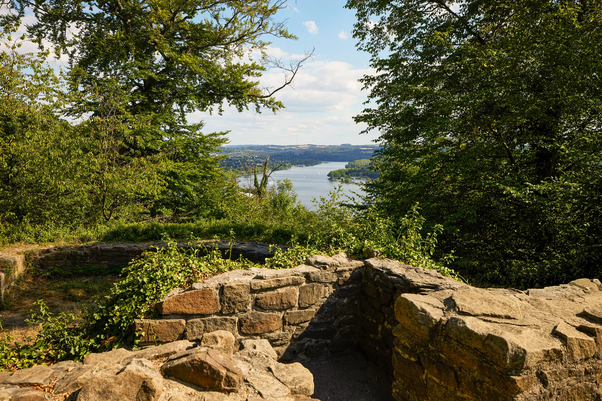
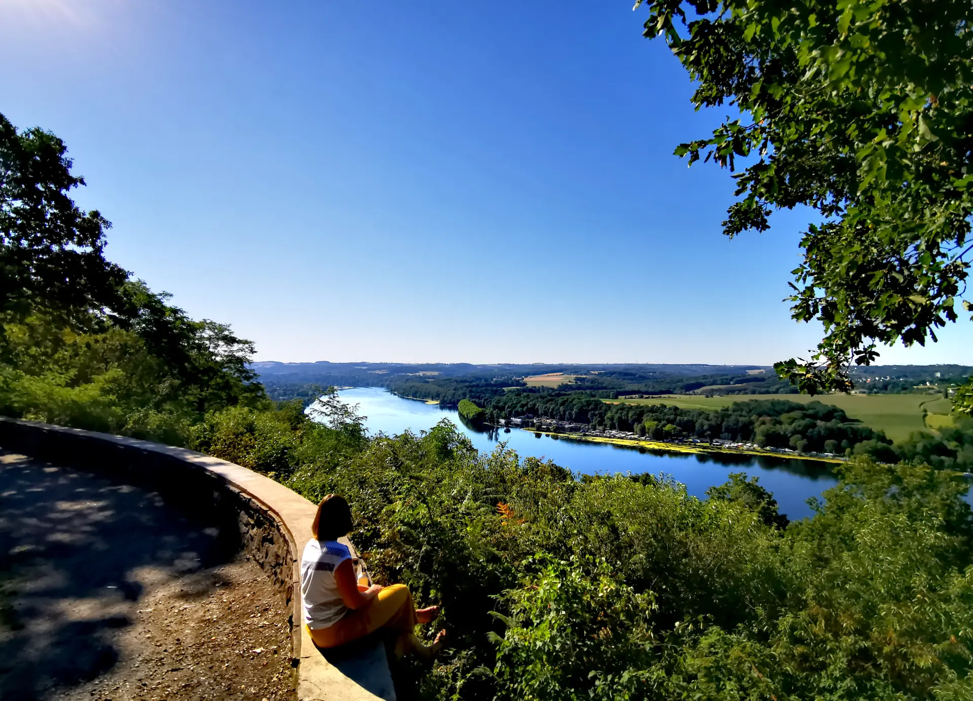
Of course: Hiking has long since ceased to be only the miller’s pleasure. That would be a shame, too, because since 2017 the almost 27-kilometre-long BaldeneySteig has invited visitors to explore the area around Essen’s reservoir on foot. The route leads through forests, across meadows and fields, and past rustic farmsteads. Magnificent views are included. There are also four detours to special cultural highlights, which can be reached on foot from the main route. When your feet need a break, sections of the trail—with 600 metres of elevation gain—can also be covered by public transport, the Weiße Flotte or the Hespertalbahn.
Route information
Length: 26.7 km
Elevation gain: 600 m
Difficulty: moderate to challenging
Fitness level: high
Suitable for families: only on some sections
Landscape/nature:
North of the lake: a longer lakeside path and many hilly woodland areas
South of the lake: alternating woodland and agricultural areas
Good to know
- Address
- Neukircher Mühle 43Show on map
45239 Essen - Contact
- Website
- Getting there
- S-BAHN LINES
S6 Essen Hbf – Werden S-Bf
S9 Essen Hbf – Kupferdreh S-Bf
TRAM LINES
107/108 Essen Hbf – Bredeney
(Transfer to line 169 towards Werden S-Bf)
EXPRESS BUS LINES
SB14 Essen Hbf – Heisingen Baldeneysee
SB19 Essen Hbf – Werdener Markt
BUS LINES
145 Essen Hbf – Heisingen Baldeneysee
155 Essen Hbf – Kupferdreh S-Bf
For more information, visit: www.ruhrbahn.de
Location & directions
Neukircher Mühle 43 / 45239 Essen